


The refuge maintains more than 12 miles of public trails that highlight unique features of the area. These trails are open year-round, seven days a week, from sunrise to sunset. Please note that hours and access to the trails may be limited during hunt periods and seasonal flooding.
The Woodland Trail, at Center and Stroebel Roads, offers 4.5 miles of trails through bottomland hardwood forest. Trail use may be limited due to seasonal flooding and wet conditions; Trail conditions may not be maintained due to limited staff.
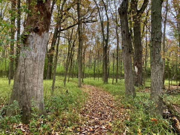
The Ferguson Bayou Trail, at the west end of Curtis Road, has 5 miles of trails. This National Recreation Trail National Recreation Trail
A National Recreation Trail is a land-based or water-based trail that provides an outdoor recreation opportunity on federal, state, tribal or local public land. National Recreation Trails were established by the National Trails System Act of 1968 (Public Law 90-543), which authorized creation of a national trails system composed of National Recreation Trails, National Scenic Trails and National Historic Trails. Whereas National Scenic Trails and National Historic Trails may be designated only by an act of Congress, National Recreation Trails may be designated by the Secretary of the Interior or the Secretary of Agriculture to recognize exemplary trails of local and regional significance.
Learn more about National Recreation Trail follows dikes and provides views of moist soil units, sloughs, forest, fields, wetlands and pools. There are two observation decks and one photo blind along the trail.
The Green Point Trails offer 2.5 miles for hiking and cross-country skiing. Although the Environmental Learning Center and parking lot is temporarily closed, the trails are still open to the public.
The Germania Trails offer 2 miles of hiking on crushed asphalt trails. These trails take visitors through an area that was formerly a golf course. Now the area is being restored into a bottomland hardwood forest and wetland prairie habitat.