

Trails
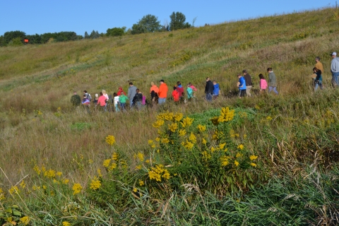
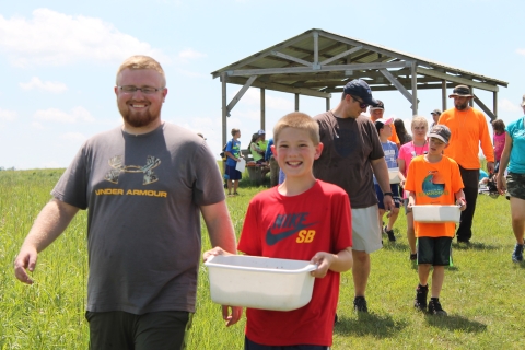
Prairie Wetlands Learning Center trails are configured in a series of lengthening, overlapping loops extending from the north end of the property to the south end. They mainly weave through open prairie and past numerous wetlands and one lake, although one trail passes over a wetland with a bridge and another through a shady oak savanna. Two trails have short spurs, one leading uphill to a prairie overlook and the other to a dock. The North Country National Scenic Trail overlays the Wetland Way Trail providing connections to the south side of Fergus Falls and to DeLagoon Park on the edge of town. An open shelter is located on the far south end near Tungseth Lake. Benches are located periodically on each trail. Peek at mergansers and wood ducks using the nesting boxes and mallards in the cylindrical hen houses -- bring binoculars for added detail.
Parking Lot Loop
Open season: All
Length: 0.25 mile
Location of trail: Loops from parking lot, past visitor center, dorm, amphitheater and barn, back to the parking lot
Surface: Asphalt, wood deck, wood steps
Difficulty: Easy. Level ground. Kept clear of snow in winter.
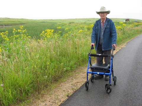
Information: ADA compliant except for the stairs when the visitor center or dorm are closed. Elevators are located inside each building, available when buildings are open to the public. Passes Gentian Ponds and Center Pond, which is also viewed from above on the deck. Relax on several benches on the deck or in the amphitheater near the barn. A rich variety of prairie wildflowers and grasses bloom from early spring through mid-fall, peaking in mid-summer. Watch for four different species of nesting swallows: barn swallows under the deck, cliff swallows on the barn and silo, purple martins in the white gourds and tree swallows and eastern bluebirds in the wooden boxes.

Mallard Marsh Trail
Open season: All
Length: 0.5 mile from parking lot and back
Location of trail: Loops around west Mallard Marsh
Surface: Mostly asphalt. Grassy spur. Wooden bridge.
Difficulty: Easy. Level ground and ADA compliant except for moderately sloped spur uphill to a prairie overlook.
Information: Overlaps with loop from the Parking Lot Loop. Passes the education wing and greenhouse, connects with spur to Butterfly Garden and scenic view, connects to Chickadee Woods, crosses Mallard Marsh on floating wooden bridge, connects to the Tatanka Trail, loops around West Mallard Marsh and reconnects to the Tatanka Trail near the barn and amphitheater. A rich variety of prairie wildflowers and grasses bloom from early spring through mid-fall, peaking in mid-summer. Wildflower identification booklets available for free loan in the visitor center to use on this trail.
Tatanka Trail
Open season: All
Length: One-mile from parking lot and back
Location of trail: Connects with Mallard Marsh Trail south of the bridge and loops back around to the Wetland Way Trail just south of the barn Surface Packed gravel with mowed grass edges
Difficulty: Mostly easy to moderate due to length and one slope
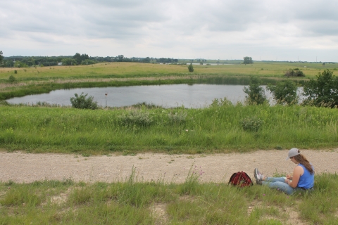
Information: Loops through the Mallard Oaks, an oak savanna on the south side of east Mallard Marsh. Continues past Prairie Pothole, a true pothole with no connectivity to other water bodies and out into the open prairie. Connects to the Wetland Way Trail at a Y-intersection southwest of Prairie Pothole. Travels past Deer Pond, a shallow, grassy wetland, then the trail switches back and forth downhill, passing Frog Pond, a spur to the Adams Pond floating dock, and on to Wetland Way Trail which leads back to the barn and Parking Lot Loop. Listen and watch for displaying bobolinks in spring and summer and coyote tracks in the snow.

Wetland Way Trail
Open season: All
Length: Two miles from parking lot and back
Location of trail: In the heart of the Prairie Wetlands Learning Center trail system, south of the Tatanka Trail, connecting with it on the east side of the center near Muskrat Marsh and on the north side near Gentian Ponds, just south of the barn.
Surface: Packed gravel with mowed grass edges
Difficulty: Mostly easy to moderate due to length
Information: Connects to the Tatanka Trail at the Y-intersection southeast of Prairie Pothole. Continues downhill past Hidden Pond and Muskrat Marsh, then connects with the Tintah Trail at a Y-intersection and the North Country National Scenic Trail. Passes by Dakota Pond and a 3-way intersection where it joins the other end of the Tintah Trail. Continues past Tintah Slough and weaves through Snail Shell Marsh, Cattail Marsh and Golden Valley Pond. Connects with the North Country National Scenic Trail on the west side of the Prairie Wetlands Learning Center, near State Highway 210. Travels around Adams Pond where it joins the Tatanka Trail near the barn.
Tintah Trail
Open season: All
Length: Three miles from parking lot and back
Location of trail: The southern-most trail, located on the southeast side of the Prairie Wetlands Learning Center, south of the Wetland Way Trail.
Surface: Packed gravel with mowed grass edges
Difficulty: Mostly easy to moderate due to length
Information: Connects to the Wetland Way Trail at the Y-intersection southeast of Muskrat Marsh. The North Country National Scenic Trail splits off to the east, Goose Drive, DeLagoon Park and the Central Lakes Trail. Meanders between Willow Wetland and L.C. Wetland and skirts Tungseth Lake. Passes by Eggshell Marsh, then heads north past Muggs Marsh, connecting with the Wetland Way Trail between Dakota Pond and Tintah Slough.