

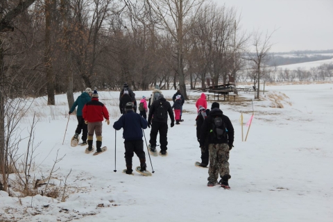
Activities
Upper Souris National Wildlife Refuge provides numerous recreational opportunities for visitors. People enjoy viewing the unique geology and diverse wildlife, whether boating, driving, or hiking. For more detailed information on what the Refuge has to offer, please see our activity guide brochure and map.
Trails
Oxbow Nature Trail
Your walk along this trail will take you on either a one-half mile or 1-mile journey through prime river bottom habitat of the Souris River. This trail is hard-surfaced and benches are available along the route. Interpretive signs are provided to increase your enjoyment of this area.
Overlook Nature Trail
This mowed grass trail winds a total of one-third mile over the prairie grass-covered hills where a spectacular panoramic view of the Souris River valley will unfold before you. Benches are available.
Pelican Nature Trail
This trail offers a one-half mile interpretive hike to the Pool A Spillway. You are welcome to use the photo blind at the end of the trail to "hide" and let the wildlife come to you.
Cottonwood Nature Trail
This trail is named for the large number of cottonwood trees planted in the late-1930's by the Civilian Conservation Corp. It consists of two mowed grass loops. The first loop is one-half mile long and features a scenic overlook with a bench. The second loop is one mile long and continues from the overlook area west through the coulee and around the surrounding ridges.
Centennial Wildlife Nature Trail
Located at the north end of Renville County Memorial Park, this mowed grass trail meanders through bottomland grasslands. The trail length will depend upon how wet the meadows are, but it will be from 2 to 2-½ miles round-trip.

Beaver Lodge Canoe Trail
This 3-mile (6-miles round trip) trail involves paddling through three ponds and a short section of cattails to get to the Souris River.
Mouse River Park Canoe Trail
This 5-mile (10 miles round trip) trail is located at the northern end of the Refuge.
Prairie-Marsh Scenic Drive
This is a 3-mile, self-guided interpretive auto tour route which provides views of native prairie-covered hills, brush-choked coulees and river bottom marshes. The tour route is closed during the winter, when muddy road conditions exist, and during North Dakota's State deer gun season. The scenic drive begins 1 mile south of the dam. There is a gate at the entrance to the drive; this gate is located south of the intersection of County Roads 6 and 11.
Locations
To locate Upper Souris NWR, take Highway 52 to 1 mile northwest of Foxholm, then north 7 miles on County Road 11. The Refuge can also be reached by traveling 18 miles north of Minot on Highway 83, then west 12 miles on Country Road 6.