


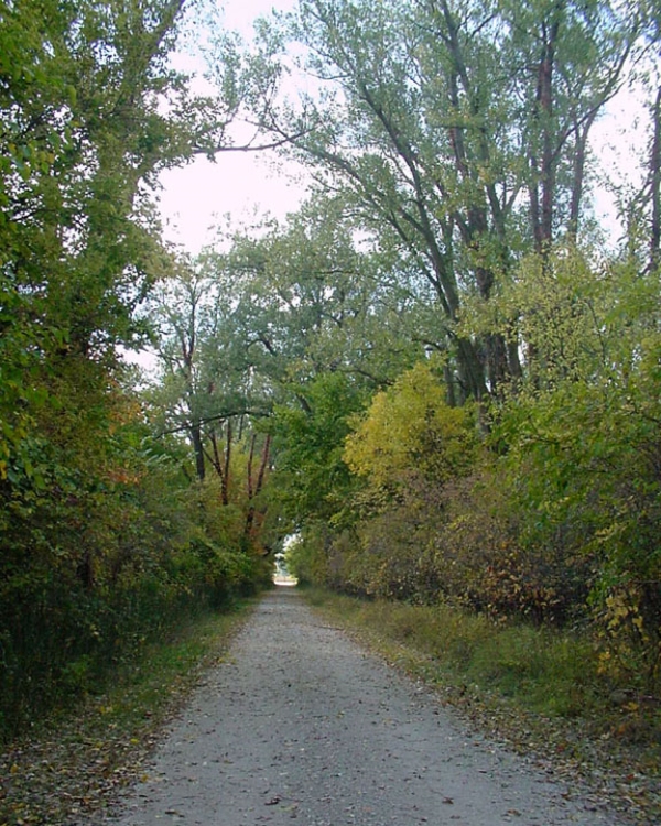
The refuge offers over 9 miles of hiking trails. The trails take visitors along the chute and through a diversity of Missouri River floodplain habitat.
Meadowlark Trail
Open Season: Open year round.
Length: 0.32 miles
Location of trail: Originates just east of bridge over Boyer Chute from the main parking lot.
Surface: Paved, ADA compliant
Difficulty: Easy with no elevation change.
Information: This short loop trail starts off meandering through grassland habitat before looping back along the edge of the chute.
Oriole Trail
Open Season: Open year round.
Length: 1.45 miles
Location of trail: Originates at the picnic shelter just east of the bridge coming from the main parking lot.
Surface: Mowed grass
Difficulty: Easy with little elevation change
Information: The Oriole Trail takes visitors through a diversity of floodplain habitat starting off along the edge of a mature bottomland forest before going through young cottonwood stands and grassland habitats.
North Island Trail
Open Season: Year-round
Length: 3.6 miles
Location of trail: Originates just east of bridge from main parking lot and heads north from the trail head junction.
Surface: Mowed grass
Difficulty: Moderate with little elevation change.
Information: This North Island Trail provides visitors views of the Missouri River and the restored backwaters area. During the migration, look for waterfowl and eagles along the river’s edge.
South Island Trail
Open Season: Year-round
Length: 3.5 miles
Location of trail: Originates just east of bridge from main parking lot and heads south from the trail head junctions.
Surface: Mowed grass
Difficulty: Moderate with little elevation change
Information: This long loop trail winds through grassland and early successional bottomland forest before coming along the edge of the Missouri River backwaters area. Look for deer, turkey, and a variety of songbirds along this trail.
South Chute Confluence Trail
Open Season: Year-round
Length: 0.65 miles
Location of trail: Originates from the South Chute Parking Lot..
Surface: Mowed grass with wood bridge section
Difficulty: Easy with little elevation change
Information: The South Confluence Trail follows the edge of the chute to where it meets with the Missouri River. Bank fishing opportunities can be found along the stretch of the trail