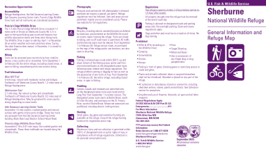
sherburne-nwr-public-use-brochure

Document - application/pdf
sherburne-nwr-public-use-brochure
Attachments
AttachmentSize
Sherburne_PublicUseMap_8.5x16_Online.pdf2.91 MB2.91 MB
Type of document
Brochure
Facility
11 sandhill cranes in flight with wings outstretched, with only the sky in the background. The cranes are all flying to the left and the sky is a mix of periwinkle blue and thin white clouds.
The 30,700 acre refuge was established in 1965 at the urging of local conservationists and hunters interested in restoring the wildlife values of the St. Francis River Basin. Following that, the refuge became and remains the largest public land holding in Sherburne County. The refuge is now a wild...