Maps are one of the most fundamental tools we use to guide decisions about our environment, and for over 50 years the Service's National Wetlands Inventory (NWI) program has risen to the challenge of mapping the most dynamic ecosystems on the planet. These maps help conserve species and keep our communities safe and prosperous.
Mapping wetlands is often challenging because their appearance can change dramatically over time. Imagine the water in a river or even a small stream: In the spring it often flows generously to the top of its banks, but in the fall it may taper to a gentle crawl – or even disappear. Such is true for the many wetlands with dynamic water levels, making them a moving target when it comes to designating a geographical boundary. Yet, the NWI program has been tasked, since 1974, with doing just that.
The program works with partners, such as nonprofits, universities, companies, and other government agencies, to employ the best available mapping approaches to accurately inventory wetland area, location, type, and trends across the entire United States and its territories. These partnerships enable production of America’s most spatially and categorically detailed wetland geospatial dataset (i.e., maps) and an unbroken historical recording of wetland change that goes back hundreds of years in the form of Wetlands Status and Trends reports.
This foundational scientific information fuels strategic decision-making essential for meeting today’s most important environmental and logistical challenges. It is available to everyone from government agencies to private sector organizations to individuals. It is relied on to conserve plants, fish, and wildlife; keep communities healthy and safe; and supercharge the economy.

Ultimately, the reasons people depend on NWI data are tied to the numerous benefits wetlands provide.
One such benefit is the reduction of impacts from natural disasters, like floods, droughts, storm-surge, and wildfires.
- Wetlands absorb flood waters, which often cause the most significant damage from hurricanes and other severe storms, and further protect communities by dampening the destructive power of storm waves. In this way, they save tens of billions of dollars annually in damage to U.S. coastal communities.
- During droughts, wetlands hold water on the landscape, allowing it to recharge groundwater that people rely on for drinking and irrigation.
- Wetlands serve as natural fire breaks, protecting people by slowing down the spread of wildfires.
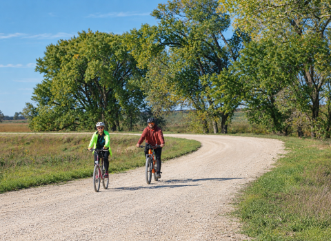
Wetlands also add value to our lives through outdoor pursuits, which include hunting, fishing, boating, nature photography, hiking, birding, and wildlife observation. A 2022 survey conducted by NORC at the University of Chicago found that approximately 57% of U.S. residents (16 or older) participated in wildlife watching in a single year. During the same period, roughly 15% engaged in fishing and 6% hunted.
While those percentages may not sound significant, their contribution to the economy packs a punch. The survey found that outdoor enthusiasts spent an estimated $394 billion on hunting, fishing, and outdoor activities in a single year.
As our society and culture has advanced over the past 250 years, so has our understanding of wetland ecosystems and their value to us, both as individuals and as a society. Wetlands were once ditched and drained in mass, but now the Service and its partners work to restore wetland habitats to protect species and communities. Scientific data from the National Wetlands Inventory program catalyzed this shift toward wetland conservation.
Just as society’s understanding and appreciation of wetlands have evolved through time – so has the information produced by the program. Wetlands were once drawn by hand on mylar overlays, but the program and its partners now employ a wide range of data inputs and automated workflows, including synthetic aperture radar, LiDAR, and fine resolution multispectral data fused together through artificial intelligence. These new workflows produce more accurate wetlands data.
NWI’s products are also easier to leverage. People once ordered hard copy maps by making a phone call. Now a searchable digital dataset can be automatically streamed to your applications through web map services. Throughout this progress, the NWI program has been a dedicated partner, ensuring that the quality and consistency of America’s authoritative wetlands information is maintained for the benefit of all.
Take a first step toward conserving wetlands and supporting your community by accessing NWI’s easy-to-use Wetlands Mapper and learning more about wetlands near you.
By: Whitney Kroschel