

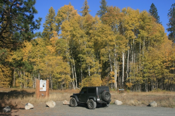
Our new 10 mile long Auto Tour loop begins at the Refuge Headquarters kiosk where a variety of maps orient visitors to the features and topography of the Refuge. From here a short paved trail leads to a view of the Little Pend Oreille River Valley and distant Calispel Mountain. If you’re adventuresome, the Mill Butte Trail trailhead is just across the road and is a 4.5 mile loop that leads to a 2,619 foot summit with a 360 degree view.
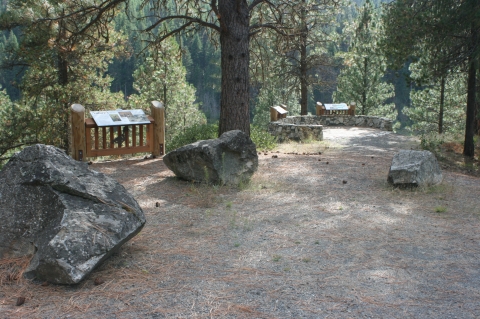
The Auto Tour route takes visitors east on Bear Creek Road to Rookery Road, then north through River Camp and across Starvation Flat before ending the at Narcisse Creek Road junction. Along the Auto Tour route you’ll encounter twelve stopping points with large, colorful interpretive panels describing the history, ecology and management of this beautiful and interesting Refuge. Many of the panels are mounted about waist high at a 45 degree angle, encouraging visitors to exit their cars to read the sign, thus fully experiencing, by sight, sound and smell, the subject of the exhibit. Some sites use vertically mounted signs easily readable from a vehicle so folks can stay in their vehicles and read the signs.
Highlights include the Hartnett log barn on Bear Creek Road which was built in 1900 and is the oldest structure on the Refuge; the universally accessible viewing deck at the Beaver Ponds which provides a quiet place to watch for wildlife; and the new McDowell Lake overlook view point. If you have time, detour one-quarter mile to Potter’s Pond and Bayley Lake where you may be treated to a moose sighting! The Big Pine Trail trailhead is along the Auto Tour and includes a spur to the rock-walled overlook and another view of the Beaver Ponds. If you have time, stop in River Camp and find more interpretive signs along the universally accessible McDowell Marsh Environmental Education Trail, an elevated boardwalk and views of McDowell Marsh and McDowell Lake. There’s plenty of room at the interpretive sites for larger recreational vehicles, but you may want to ride the route on a mountain bike since the tour road is a relatively flat, gravel surface. Although most of the tour is closed to motorized vehicles from January 1st through April 14th, hikers, cross-country skiers and snowshoers are welcome to explore it.