


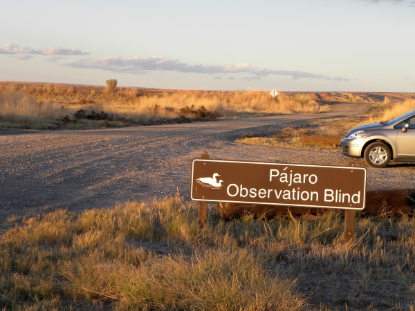
The refuge has an incredible Wildlife Drive where black bear, turtles, all kinds of birds of prey, waterfowl, and other wildlife may be seen. There's even a chance to see an elusive red wolf!
For your convenience, maps are available at multiple entrances to the refuge, or can be viewed online. Make sure to check the Current Road Status page before heading out. The Drive is not a simple loop, but has a variety of roads from which to choose. There are a series of roads totaling approximately 15 miles, plus many additional roads are open to vehicles and provide access to thousands of acres of wildlands.
Some suggested wildlife viewing routes include:
Sawyer Lake Loop (Wildlife Drive West):
Estimated time: 40min, 6mi
- From Highway 64, enter on Milltail Road. Turn right onto Sawyer Lake Road.
- Drive Sawyer Lake Road to the end. Turn right onto Buffalo City Road.
- If Twiford is open to driving (in September and October), turn right onto Twiford Road. Follow Twiford to the end and turn left onto Milltail Road to return to Highway 64.
- Otherwise, continue on Buffalo City Road to Highway 64.
Milltail to Borrow Pit (Wildlife Drive East)
Estimated time: 40min, 6mi
- From Highway 64, enter on Milltail Road. Turn left onto Long Curve Road.
- Stay right at the intersection with Link Road. At the end of Long Curve, turn left onto Borrow Pit. Exit the refuge via Highway 264. Turn left onto Highway 264 to return to Highway 64.
Grouse Loop:
Estimated time: 40min, 8mi
- From Highway 264, turn right onto Borrow Pit Road.
- Turn right onto Bear Road. At the end, turn left onto Link Road.
- At the end of Link, turn left onto Long Curve Road. At the end of Long Curve Rd, turn left onto Borrow Pit to return to 264.
Through the Heart of the Refuge
Total distance: 17 miles, estimated time 1h 30min
If you want to explore a longer route through the refuge through wild pocosin wetlands and forest with dense vegetation, you can connect from Milltail Road to Long Curve Road via the following route. Make sure you have a map to keep oriented as you drive!
- Enter from Highway 64 onto Milltail Road. Turn right onto Sawyer Lake Road.
- Proceed 1.3 miles. Turn left onto Butler Road.
- At the end of Butler Rd, turn left onto Sandy Ridge Road
- At the end of Sandy Ridge Road, turn left onto Milltail Road
- Proceed 1.4 miles. Turn right onto Koehring Rd.
- At the end of Koehring Road, turn left onto Long Curve Road.
- At the “T” intersection, turn right onto Borrow Pit. You can turn left on Bear Road to add the Grouse Loop or continue straight to exit via Highway 264.
The refuge speed limit is 25mph. All state traffic laws apply on refuge roads, so always drive on the right side of the road and make sure all occupants wear seat belts. If you want to stop along the road, make sure to pull off to the side so that others may safely pass.
Refuge staff and volunteers offer guided tram tours weekly during the summer and monthly throughout the rest of the year.
