Written By

Connect the dots is a form of puzzle typically containing numbered dots, that when connected with a line, reveals an object. These simple lines from one dot to another help disclose a much more
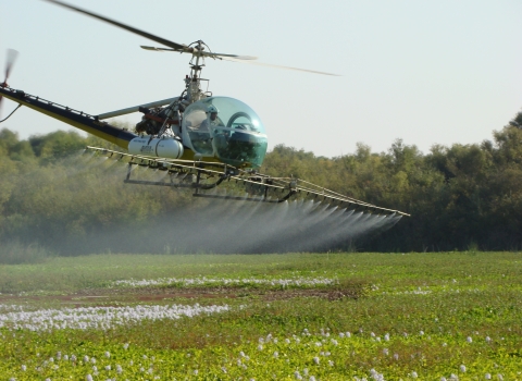
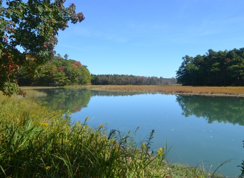
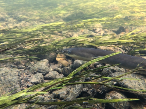
complex picture, one that likely couldn’t be drawn without the help of each dot. Many times, the complex questions we strive to answer as biologists in the Fish and Aquatic Conservation Program span beyond our personal or office capacities (physical, geographic, etc.). This is where partners help to connect the dots, or we serve as a dot connection for our partners. This is the case for a long-term and large spatial scale project aimed at better understanding migration dynamics and pathways, barrier impacts and escapement of American eel, anguilla rostrata, from inland freshwaters of Arkansas down to marine waters in the Gulf of Mexico.
The Baton Rouge Fish and Wildlife Conservation Office is one of several partners, Arkansas Game and Fish Commission, U. S. Army Corps of Engineers, Louisiana Department of Wildlife and Fisheries, Louisiana State University, that deploy and maintain an acoustic telemetry array in the Ouachita, Black, Red, and Atchafalaya River systems and/or estuaries to detect tagged American eel as they migrate downstream toward the Sargasso Sea. Each agencies’ telemetry arrays represent small dots along the vast river systems (>950 km) and all the information gathered with each American eel detection are the lines connecting and moving us one step closer to revealing the whole complex picture, a picture that would be nearly impossible or too timely and costly for one to draw on their own. This case exemplifies the utility of partnerships, leveraging resources and the importance of open communication between researchers as a cost-effective means for obtaining valuable biological information on species of interest over multiyear large spatial scales.
Written By
Published
Latest Stories