Refuge staff have begun to actively monitor wildlife-vehicle collisions in an effort to document and eventually mitigate wildlife mortalities. Staff are using the Roadkill Observation and Data System (ROaDS app), a tool developed jointly by the Branch of Transportation and Data Management and the Infrastructure Management Division. The app uses the EsriArcGIS platform to log data points that are then collected and analyzed.
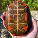
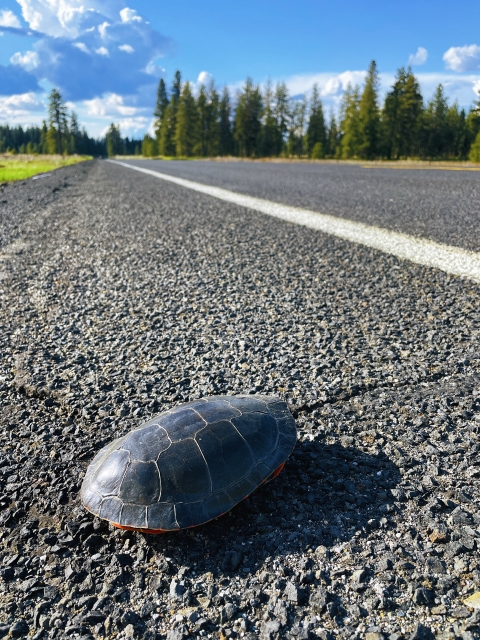
The primary species targeted by this project is the Western Painted Turtle (Chrysemys picta bellii), a species especially susceptible to vehicle collisions. These turtles regularly enter the road surface of Cheney-Plaza and Cheney-Spangle roads during the spring time as they migrate in search of mates and appropriate habitat to lay their eggs. Since these are county thoroughfares, speed limits are often higher than on-refuge, meaning motorists do not always observe turtles in the roadway.
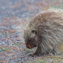
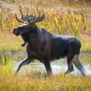
Other species of concern include the porcupine and moose.
Visitors who observe wildlife-vehicle collisions or other roadkill along roads within and surrounding the refuge are encouraged to report their findings to refuge staff.