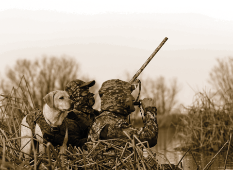
Waterfowl Hunting Maps and Directions
for Sacramento National Wildlife Refuge Complex
Hunting home page <--- Click here to return to the Hunting Home page
For your driving safety:
1. Use CAUTION....slow down so you can read the small road signs.
2. Plan additional driving time when there is foggy or rainy weather.
3. Review driving directions, location map or GPS coordinates
BEFORE you begin driving - PLAN AHEAD.
The speed limit on the refuges is 15 mph and it is enforced!
Waterfowl Hunting Maps
Refer to second page of each document for information and refuge regulations.
- Hunt Area Maps <-- Click here to find Hunt Area Maps for Sacramento, Delevan, Colusa and Sutter NWRs
Hunter Check Station Maps
These maps include driving directions and GPS coordinates.
- Sacramento NWR Check Station Map
- Delevan NWR Check Station Map
- Colusa NWR Check Station Map
- Sutter NWR Check Station Map
Sacramento River NWR Maps
View brochures and maps of the Sacramento River NWR.
Fall Flood-up Maps
Beginning fall 2022, weekly fall flood-up maps are no longer be available online