

Photo By/Credit
Pos, Robert/USFWS
Date Shot/Created
02/17/2012Media Usage Rights/License
Public Domain
Image
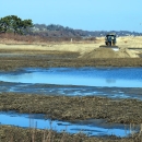
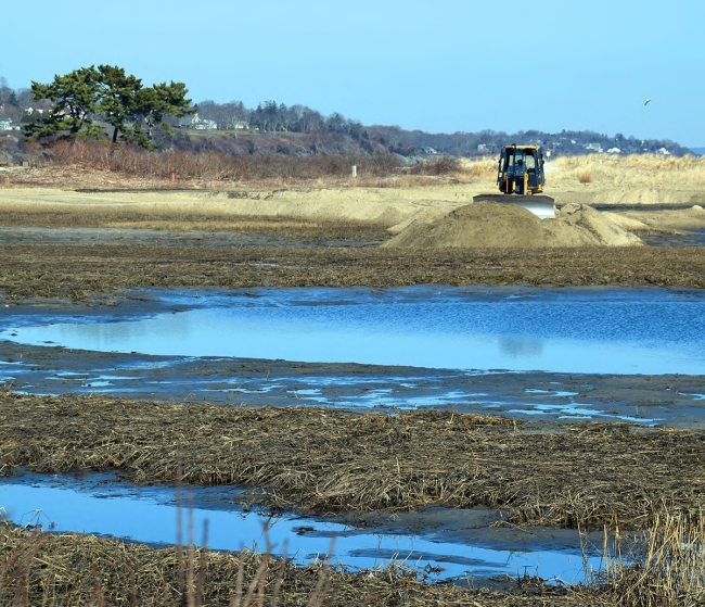
This is part of a $4.1 million, federally-funded Hurricane Sandy effort to mitigate the impact of sea-level rise and coastal storm surge on the Maidford River area salt marshes and neighboring Narrow River marsh at the John H. Chafee National Wildlife Refuge. The sediment-starved 16.5 acre Maidford Marsh is located within the Sachuest Point NWR; a thin layer disposition (TLD) technique is applied to bolster saltmarsh health whereby sand is dredged from otherwise sediment-rich rivers and channels in the area, mixed with water, and applied to elevate the marsh surface. This method has been successfully used on Delaware Bay, DE, Chesapeake Bay, MD, and Jamaica Bay, NY, to restore marshes adversely affected by accelerated sea level rise. Ocean-borne storm and wave erosion, combined with the lack of replenishment from estuaries whose rivers have been dammed or choked off by centuries of industrial development, has left once-hardy tidal marsh ecosystems at a precipitous juncture where saltmarsh elevations cannot keep up with predicted sea level rise. Lack of healthy sediment levels create poor drainage which in turn impedes the growth of high-marsh vegetation and impacts healthy fish and wildlife habitats. Restoration of the Maidford Marsh area will impact the saltwater sparrow habitat.