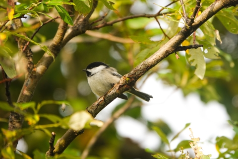
The name may be a mouthful, but monitoring avian productivity and survivorship, also called MAPS, is just a fancy name for keeping track of the health of our bird populations. Sorry, no lions or tigers or bears here.
The MAPS program is a continent-wide effort organized by The Institute for Bird Populations. The program has been running since 1989 and includes hundreds of stations spread across the United States and Canada and managed by public agencies, non-governmental organizations and individuals. Each station follows established protocols to capture, band, and collect data on local birds. The data can then be used to estimate population trends, productivity, recruitment, and survival of individual bird species. Importantly, all data collected as part of the MAPS program is standardized between years and stations. This standardization allows for a vast dataset that can be used to make comparisons through time and space and draw strong conclusions about avian trends. The MAPS station run by Kodiak National Wildlife Refuge staff and volunteers at the Buskin River State Recreation Site is currently the only active MAPS station in Alaska. It has been operating since 2010 and more than 2500 birds have been banded in Kodiak so far.
What does a MAPS day in Kodiak look like?
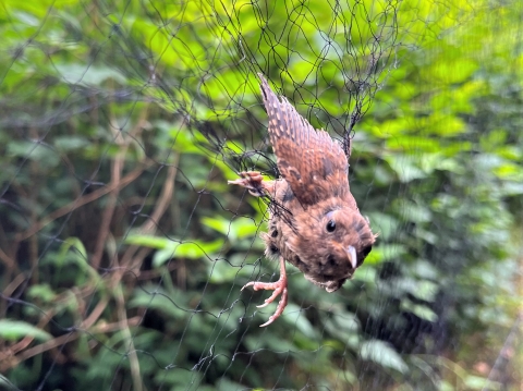
On six mornings every summer a team of Kodiak Refuge staff and volunteers meet at The Buskin River State Recreation Site before the sun rises and start by erecting ten mist-nets along a short section of trail in the forest. Mist-nets are fine mesh nets specifically designed to safely catch birds in flight. After all the nets are up, everyone returns to a central area to wait. Every half hour for the next 6 hours, each net must be meticulously checked for captured birds.
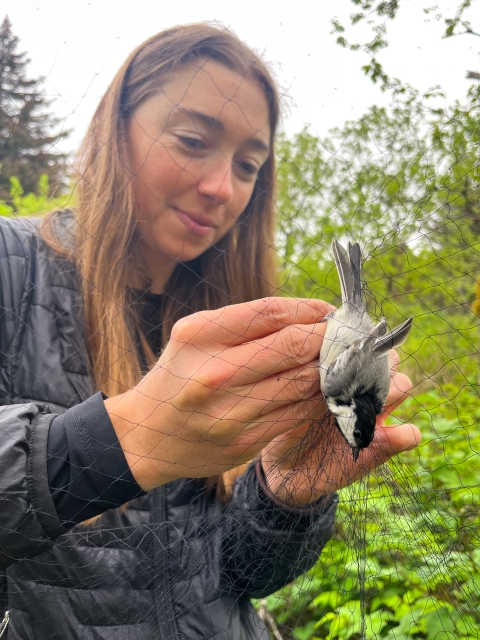
The number of birds caught each session varies, but there are usually a few birds between the ten nets at every check. Once a bird is caught in a net, it is carefully untangled and removed from the net by a specially trained individual.
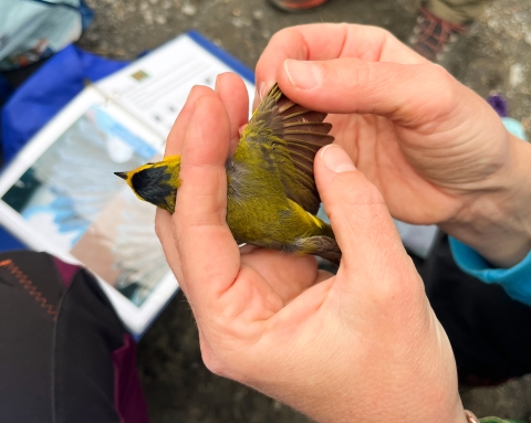
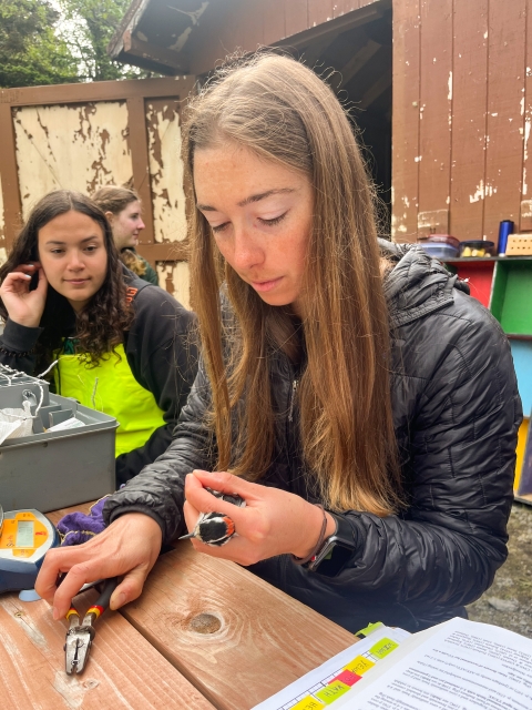
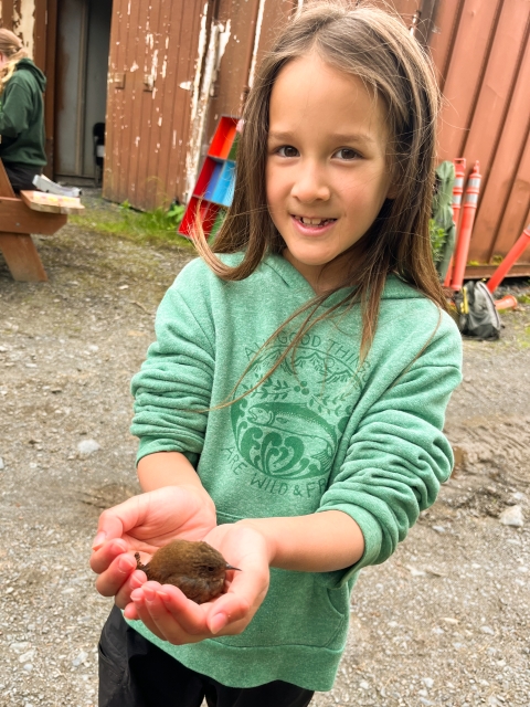
The bird is then placed in a soft fabric bag and brought to the banding area to be "processed." Processing a bird includes determining the bird's species, sex, and age; evaluating its body condition, feather wear, and molt status; measuring its wing length; and weighing the bird. Everyone that handles the birds has been trained on how to safely hold them, and injuries are very rare.
Each bird is fitted with a lightweight aluminum band with a unique number on it. This allows the bird to be identified if it is re-caught on a different day or at another station. Comparing the number of new captures with the number of recaptures can help scientists estimate the size of bird populations in the area. Analyzing the data over multiple years can help determine whether a particular species' population is healthy or in decline.
The whole process takes just a few minutes and studies have shown that, when done properly, mist-netting and bird banding has no adverse effects for birds.
After processing is complete, the bird is immediately released near where it was caught. Occasionally birds take a moment to regain their bearings, but most fly off right away.
The MAPS programs accepts and trains volunteers who can commit to prolonged participation in the program. Contact Volunteer Coordinator, Erin Strand at erin_strand@fws.gov, if you are interested in learning more.

