

Photo By/Credit
Hagerty, Ryan/USFWS
Date Shot/Created
04/01/2009Media Usage Rights/License
Public Domain
Image
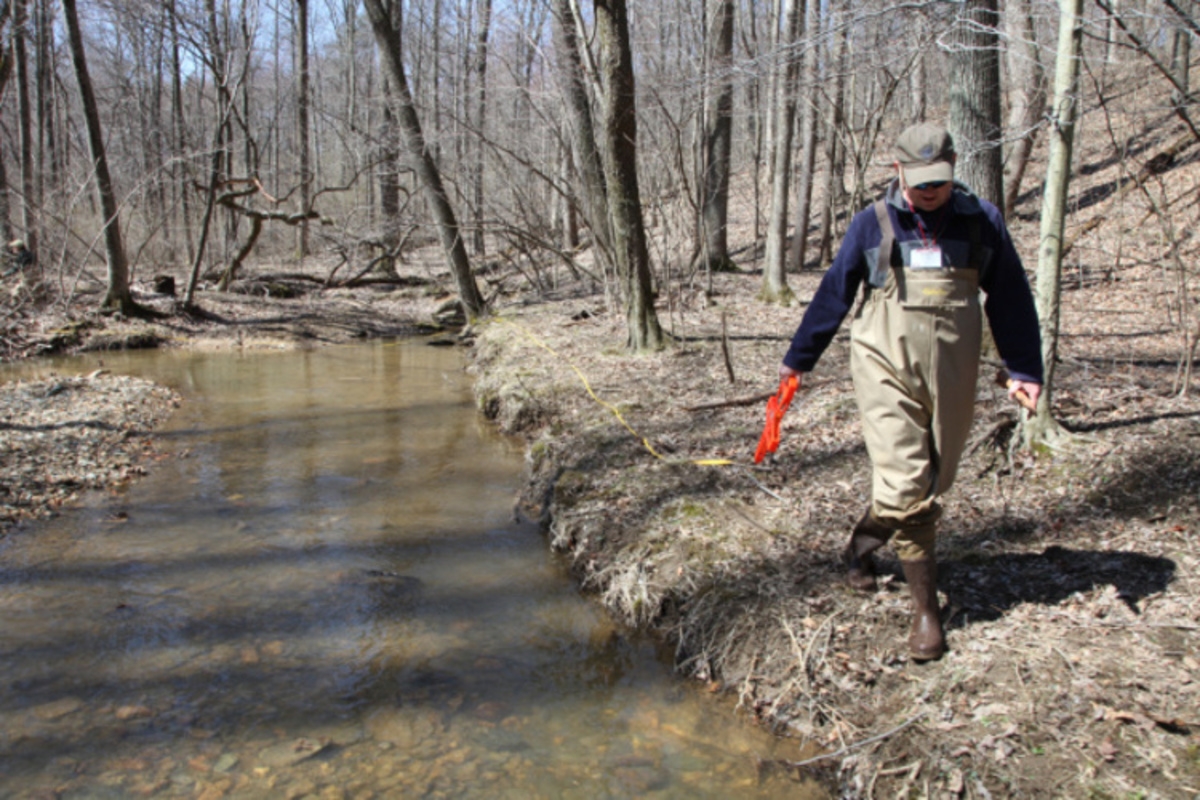
Students attending the FIS3200 Stream Habitat Measurement Techniques course at the U.S. Fish and Wildlife Service's National Conservation Training Center, practice placing a tape measure for mapping stream reach longitudinal profile.