

Visit Us

Plum Tree Island National Wildlife Refuge is a salt marsh salt marsh
Salt marshes are found in tidal areas near the coast, where freshwater mixes with saltwater.
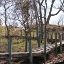
Learn more about salt marsh located in the Lower Chesapeake Bay. There are no roads, modern facilities, electric, potable water, phones, or mail service on the refuge. The bulk of the refuge is land formerly used as a bombing range. Due to fragile habitats and safety concerns associated with its former use as a bombing range, public access is prohibited. Unauthorized entry is a federal offense and is punishable by fine and possibly imprisonment.
Activities

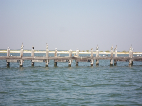
Plum Tree Island National Wildlife Refuge is not open to the public. Hunting and fishing opportunities are available seasonally via water access at designated blinds surrounding the Cow Island unit. All state regulations apply.
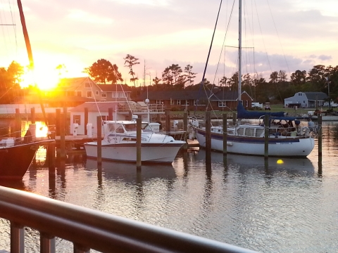
While land access is prohibited, off-site wildlife viewing and photography from the mainland and state adjacent waters is encouraged.
Related Documents
Other Facilities in the Complex
Plum Tree Island National Wildlife Refuge is managed as a part of the Eastern Virginia Rivers National Wildlife Refuge Complex, which is comprised of four different refuges. Please click the links below to learn more about these refuges.


Rules and Policies
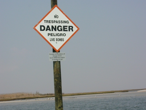
The refuge is not open to the public. Due to fragile habitats and safety concerns associated with its former use as a bombing range, public access is prohibited. Unauthorized entry is a federal offense and is punishable by fine and possibly imprisonment.
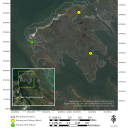
Locations
Plum Tree Island National Wildlife Refuge is a salt marsh salt marsh
Salt marshes are found in tidal areas near the coast, where freshwater mixes with saltwater.
Learn more about salt marsh located in the Lower Chesapeake Bay. There are no roads, modern facilities, electric, potable water, phones, or mail service on the refuge.
Directions to the Administrative Office: Turn North onto Kimages Road (Route 658) from John Tyler Memorial Highway (Route 5). Proceed approximately 1 mile and turn right into the Harrison Lake National Fish Hatchery Campus. The refuge office is located in the fourth brick building. Hours are variable, call prior to visiting.
Directions to the Refuge: Plum Tree Island NWR is located in the southeastern most portion of the York–James Peninsula, bounded by the York and James Rivers, and located within the City of Poquoson, Virginia. The refuge is approximately 7 miles north of Hampton, Virginia. The regional context of the project area is defined by the interactions of the nearby metropolitan area and the lower Chesapeake Bay Estuary. The refuge encompasses 3,502 acres of salt marsh salt marsh
Salt marshes are found in tidal areas near the coast, where freshwater mixes with saltwater.
Learn more about salt marsh , marine shrubland and dune, sandy beaches and mudflats, and estuarine habitats in the lower Chesapeake Bay, near the mouth of the York River. The refuge is bordered by the Poquoson River to the north, lower Chesapeake Bay to the east, Back River to the south, and the undeveloped privately owned salt marsh to the southwest.