


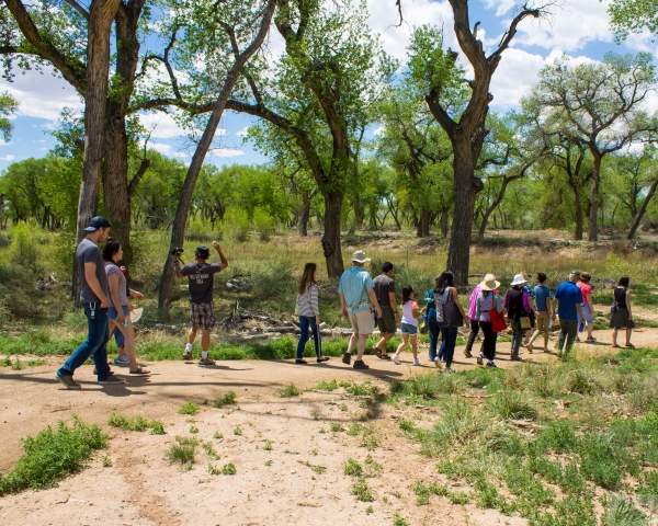
Nulhegan Basin- Trails and Overlooks
The Nulhegan Basin Division contains forty miles of gravel roads, which accommodate passenger vehicles and are open generally between Memorial Day and mid-December. During the winter, the roads are not plowed, but a network of groomed trails is available for properly registered snowmobiles (VAST TMA required), snowshoeing and cross-country skiing. Call the visitor contact station for the current status of the roads. Bicycles are allowed on gravel roads. Horses and ATVs/ORUVs are not allowed.
Nulhegan Basin Overlook-
The Nulhegan Basin Overlook provides a panoramic view of the Nulhegan Basin and surrounding landscape. The Basin Overlook is accessible from the visitor contact station parking lot and is fully accessible via a short trail leading to the observation area. Located at 5396 VT Route 105, Brunswick VT. The Nulhegan Basin visitor contact station is open 365 days a year from 8:30am to 4:30pm. Exhibits and restrooms are available.
Nulhegan River Trail- https://www.trailfinder.info/trails/trail/nulhegan-river-trail
The Nulhegan River Trail is a 1-mile loop that starts and ends at the Nulhegan Basin visitor contact station. The trail begins at the scenic granite overlook and descends to the Nulhegan River. The trail parallels the Nulhegan River for roughly 0.5 mile before gradually ascending back to the Nulhegan Basin Office. The trail is composed of gravel and native materials. The grade varies from moderate to gradual.
North Branch Trail- https://www.trailfinder.info/trails/trail/north-branch-trail
The North Branch Trail is a 3.5-mile loop bordering the North Branch of the Nulhegan River. It is a rustic trail and is accessible year-round from a parking area on VT-105 (Ferdinand). In addition to snowshoeing, certain segments are also suitable for cross-country skiing. The trail is composed of native materials and gravel and is relatively level and flat. The trail offers wildlife viewers the opportunity to see boreal species like spruce grouse, black-backed woodpeckers and gray jays.
Stone Dam Observation Platform-
The Stone Dam observation platform overlooks the Nulhegan River at the intersection of VT Route 105 and the Nulhegan River. The site is of historical context, as it was previously used as a sluice dam to control the flow of logs down the Nulhegan River to the Connecticut River. Historically, the Nulhegan River was used by the Nulhegan Band of the Abenaki as a transportation corridor between the CT river and bodies of water extending north into Canada. A stone staircase at the parking area provides paddlers with access to the river. The Stone Dam observation platform is a five-minute drive from the refuge visitor center.
Black Branch Boardwalk-https://www.trailfinder.info/trails/trail/black-branch-boardwalk
The Black Branch Boardwalk is a self-guided, 250-foot, wheelchair-accessible boardwalk. The elevated boardwalk starts at the Stone Dam Road near the Black Branch bridge and meanders through a softwood forest to a large observation platform. The observation platform overlooks the Black Branch of the Nulhegan River. The Black Branch boardwalk is a 20-minute drive from the refuge visitor center.
Yellow Branch Boardwalk-
The Yellow Branch is one of four accessible elevated boardwalks on at the Nulhegan Basin Division. The 150’ long boardwalk can be accessed from the Lewis Pond Road, north of the intersection with Eagle’s Nest Road. The boardwalk ends at an elevated viewing platform that overlooks the Yellow Branch of the Nulhegan River and a beaver wetland. The Yellow Branch boardwalk is a 30-minute drive from the refuge visitor center.
Mollie Beattie Boardwalk- https://www.trailfinder.info/trails/trail/mollie-beattie-bog-trail
The Mollie Beattie Boardwalk is a self-guided, 200-foot, wheelchair-accessible boardwalk with an elevated observation platform. Among the most significant black spruce woodland bogs in Vermont, Mollie Beattie Bog has been recognized as a state significant site. It contains one of the largest populations of bog sedge, which is a rare plant in Vermont. Mollie Beattie was the first female Director of the U.S. Fish and Wildlife Service. The Mollie Beattie boardwalk is located off the Four Mile Road, and is a 30-minute drive from the refuge visitor center.
Lewis Pond Boardwalk- https://www.trailfinder.info/trails/trail/lewis-pond-boardwalk
The Lewis Pond Boardwalk is a self-guided, 275-foot, wheelchair accessible boardwalk. The elevated boardwalk starts at the Lewis Pond boat access and travels along the shoreline of Lewis Pond through a mature cedar forest. The boardwalk ends at an observation platform overlooking Lewis Pond and Gore Mountain to the north. The Lewis Pond boardwalk I located off of the Lewis Pond Access Road and is a 35-minute drive from the refuge visitor center.
Lewis Pond Overlook and Gore Mountain Trail-
The Lewis Pond Overlook provides a panoramic vista of the Nulhegan Basin and the surrounding landscape. The overlook has a small, fully accessible parking area and short trail leading to an observation area. The Lewis Pond Overlook parking area serves as the trailhead for the western terminus of the Gore Mountain Trail, which connects to the Kingdom Heritage Trail and downtown Island Pond. The overlook is a 45-minute drive from the refuge visitor center.