
Photo By/Credit
Sue Niezgoda/Gonzaga University
Date Shot/Created
03/09/2023Media Usage Rights/License
Copyrighted, All Rights Reserved - Used by Permission
Image
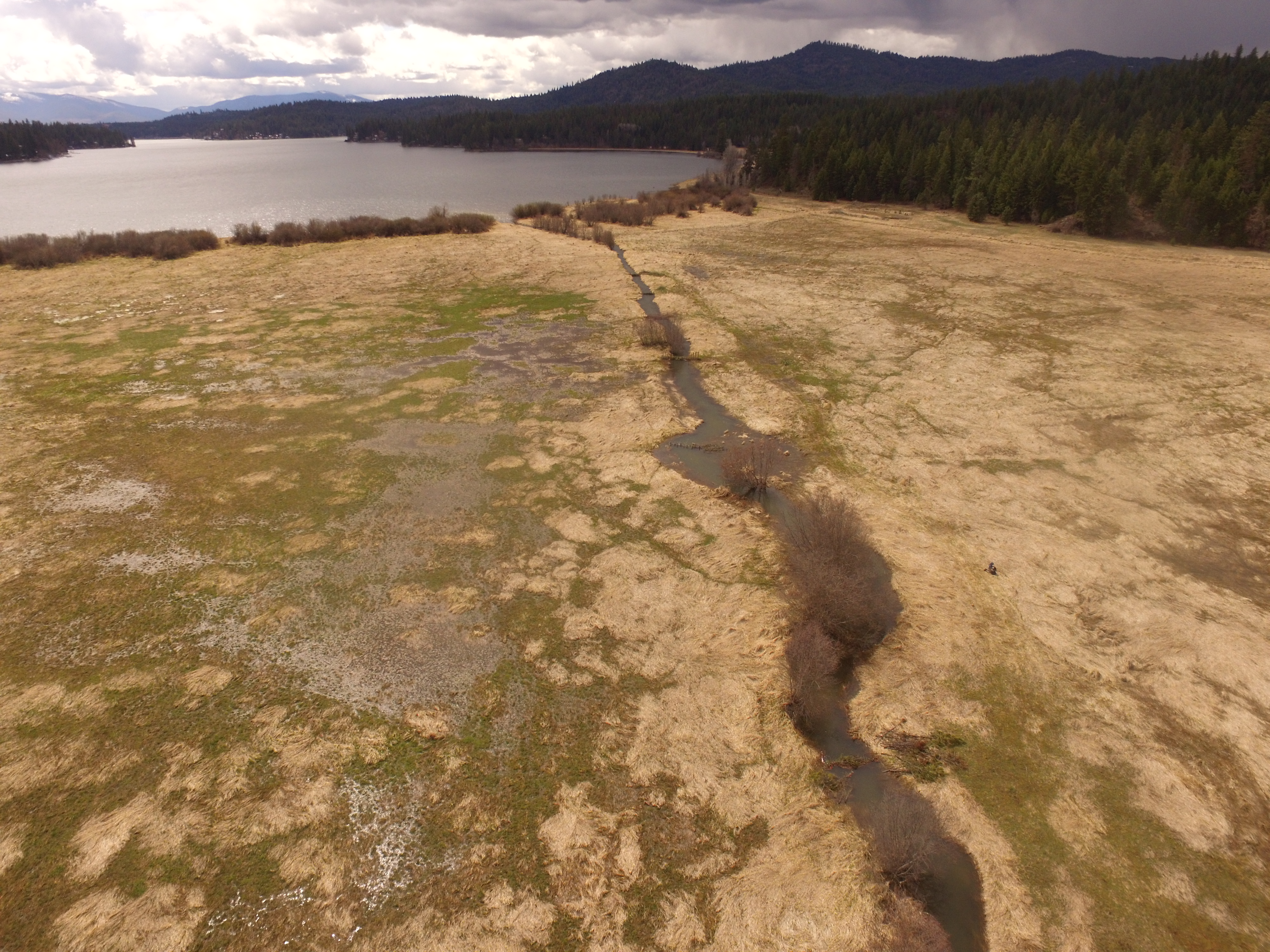
Aerial photos taken of Thompson Creek after the completion of the beaver dam analog structures.
Ecosystem
Wetland