
Photo By/Credit
Hillebrand, Steve/USFWS
Date Shot/Created
08/23/2006Media Usage Rights/License
Public Domain
Image
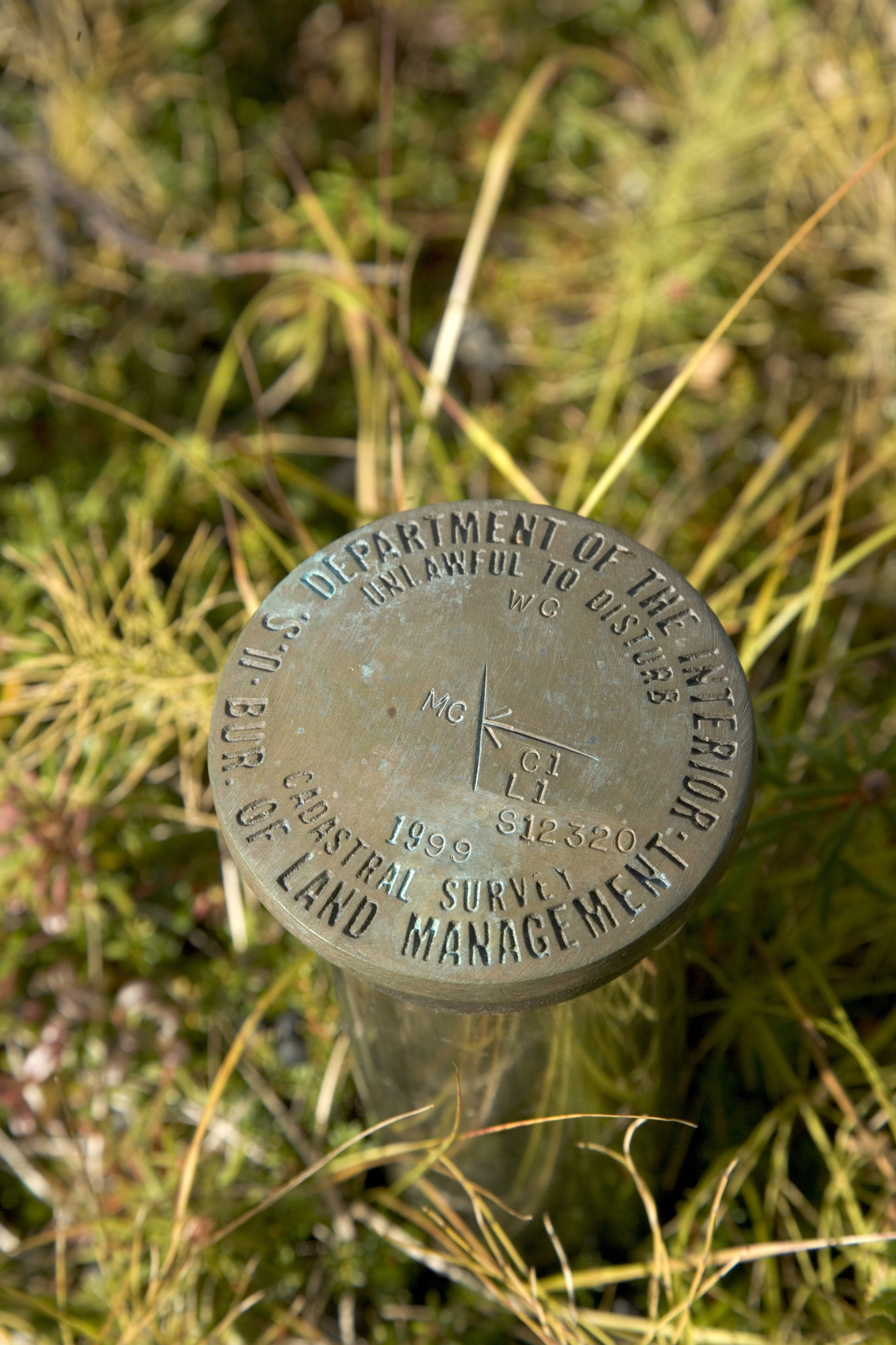
The term cadastral survey refers to the official boundary surveys performed under the authority of Title 43 of the United States Code (U.S.C.). Cadastral surveys in general create, mark, and define, retrace, resurvey and reestablish the boundaries and subdivisions of the public lands of the United States.
Facility