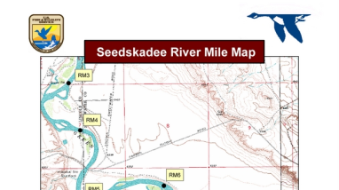
River mile maps on portions of older topographic maps of the Green River, from Fontenelle Dam to the southern end of the refuge.
Type of document
Refuge Map
Facility

Program

FWS and DOI Region(s)
River mile maps on portions of older topographic maps of the Green River, from Fontenelle Dam to the southern end of the refuge.