Written By

It’s been almost 3 years since our pilot biologists have been up in the air conducting waterfowl surveys. What would you expect to find after nearly three years removed from what used to be an annual ritual? Is your favorite restaurant still open? Is the friendly face still there to greet you? Maybe, like us, you are wondering what does the landscape even look like now? Or, perhaps you are one of the many wildlife managers and hunters that are eagerly awaiting the annual estimates of waterfowl abundance that haven’t been published in the past two years (for obvious reasons), and you want to know how many ducks are out there.
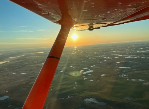
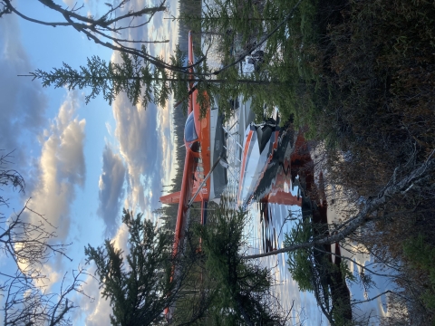
Our U.S. Fish and Wildlife Service pilot biologists and observers are returning to the sky and ground to conduct the Waterfowl Breeding Population and Habitat Survey for the first time since 2019, and with the drought on the prairies over the past couple years, anticipation is high. Some crews, like ours, are new to an area and have only past data to compare with current counts. But we were happy to fly our slice of the survey, in the Canadian provinces of Quebec and Ontario. The pilot, John Rayfield, and I started in southern Ontario and Quebec, counting ducks that primarily use the Atlantic Flyway throughout their annual cycle. Estimates from this area will inform harvest regulations for many species in the eastern US. Though we counted a number of different species, mallards, black ducks, ring-necked ducks, and common goldeneye to name a few, this area generally supports fewer ducks than the prairies. We flew for a few days from Quebec City, the oldest continually occupied city in the U.S. or Canada, and one with a very European feel.
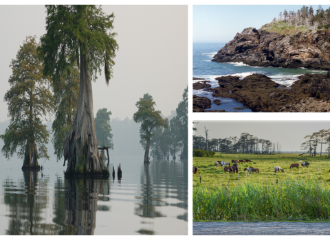
From there we flew to eastern Ontario. We flew over hundreds of miles of boreal forests, which are landscapes that support ducks that primarily use the Mississippi and Central Flyways. Estimates from this area are used to set harvest regulations in those flyways. Many of the communities here are small logging and mining communities, more reminiscent of rural farming towns than European cities. The communities here all reported near record high water levels from a winter with high snowfall and a subsequent rainy spring season. In a couple of towns, we even had to drive through flooded roads to get to lodging, but we also took advantage of the numerous lakes to camp and fish between flights.
We saw a lot of country, identified a lot of duck species, and found some favorite haunts, but we will have to wait to see how the abundance estimates compare to previous years. Everyone that cares about ducks will be waiting in anticipation, but what’s a couple months after three years? In the meantime, maybe you can reminisce about places and people you anticipate seeing during your annual rituals.

Written By