Hiking
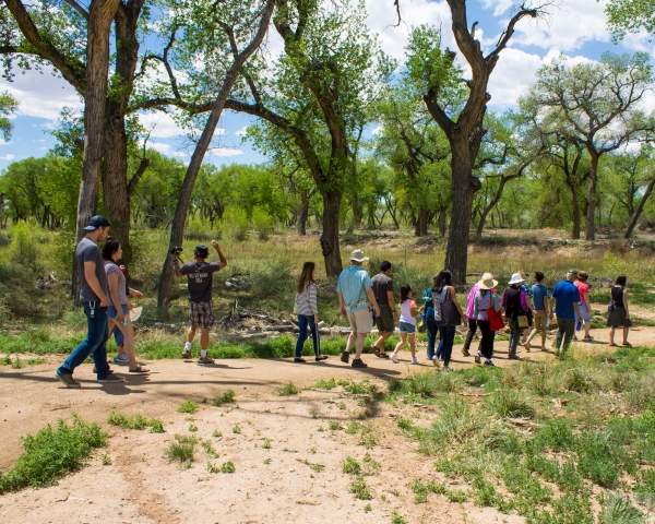
Blackwater National Wildlife Refuge currently has four land trails: the Marsh Edge Trail, the Woods Trail, the Key Wallace Trail, and the Tubman Road Trail.
Please see the Trails Page for detailed descriptions of our trails.
ALERT! List of closures during the 2026-27 deer hunt season.
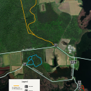
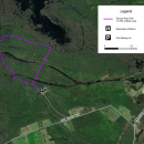
Downloadable PDF maps of the refuge trails can be found on our Library Page or below. These maps may be used in conjunction with a smartphone app that supports geospatial PDF files, such as FO MAPS (Faena Offline), to help you navigate the trails. Learn how to use the maps here.
Trails are open daily, dawn to dusk. The Marsh Edge Trail is closed from mid-winter through mid-summer to limit disturbance to nesting eagles and herons. During the fall hunting season, the Key Wallace Trail and Tubman Road Trail may be closed periodically for deer management.
Tips for those using the trails: From April to October, poison ivy is common along the trails. Although the young leaf buds and white berries are valuable food for birds, rabbits, and deer, the plant’s oils can cause a red, itchy rash in humans. Remember the saying, “leaves of three, let it be.” Biting insects are present from mid-April through late September. Protective clothing and insect repellent are recommended. Also, the three unpaved trails can get soggy in wet weather, so visitors should wear appropriate footwear if it has been raining.
Please remember that pets are not permitted on trails, even if on a leash. Pets must remain in vehicles while on the Wildlife Drive.