
Visit Us
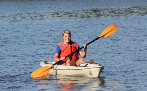
Ten Thousand Islands National Wildlife Refuge offers a hiking and biking trail, boating opportunities and paddling trails, wildlife observation and photography, waterfowl hunting and fishing in accordance with Florida state regulations, and fall-spring seasonal primitive camping on barrier islands.
Other Facilities in the Complex
Ten Thousand Islands National Wildlife Refuge is managed as part of the Southwest Florida Gulf Coast Refuge Complex.

Rules and Policies
To protect the natural resources of Ten Thousand Islands National Wildlife Refuge and to provide all visitors with a safe and enjoyable wildlife experience, please observe all signs and all regulations in handouts, brochures, and postings.
General Rules and Regulations on Ten Thousand Islands National Wildlife Refuge:
- All plants and animals are protected. All government property, including natural, historic, and archaeological features, are protected. Removal is prohibited.
- Give birds their space. Keep your person and all equipment far enough away from resting birds so that they do no flush.
- Take off and landing of unmanned aerial systems/drones is prohibited on refuge lands.
- Pets must be contained on a 6' leash.
- Nudity is prohibited.
- Respect island camping closures May-Sept.
- Off-road vehicles are prohibited.
- Littering is prohibited. Take trash and fishing line out with you to prevent wildlife conflicts or harm.
Locations
Ten Thousand Islands National Wildlife Refuge is located approximately 20 miles southeast of Naples, FL on the south side of US HWY 41. The eastern boundary lies just east of the Port of the Islands community and Fakahatchee Strand State Preserve. The western boundary is adjacent to Collier-Seminole State Park. The refuge surrounds the town of Goodland, just off of County Road 92. The Gulf of Mexico forms the southern boundary.
Primary public access to the refuge mainland is available via the Marsh Trail. With an 18 space parking lot, this area includes a mile-long hiking and biking trail, canoe and kayak trails, and a two-story accessible observation tower overlooking the marsh. The Marsh Trail parking lot is located about three miles east of Collier-Seminole State Park and County Road 92. Getting there from I-75 in Naples, take exit 101. Then follow Collier Blvd south to its junction with US HWY 41. Turn left. The Marsh Trail access area is 11 miles east along US HWY 41. Turnoffs for Goodland and Collier-Seminole State Park will be passed before you reach the parking area near mile marker 31.
The refuge and its meandering waterways are best accessed by boat. The two prominent boating access points are found in Goodland and Port of the Islands. Take US HWY 41 south out of Naples and drive 12 miles to Hwy 92, turn right and drive 5 miles to Goodland, or continue on US HWY 41 for 5 miles to Port of the Islands. The refuge does not offer paddle rentals or guided tours by USFWS staff.
Headquarters Office: Currently CLOSED
Email floridapanther@fws.gov for information