


Charles M. Russell
Lewistown, MT 59457
Plan Your Visit
Encompassing approximately 1.1 million acres, Charles M. Russell National Wildlife Refuge is the second largest national wildlife refuge in the lower 48 states and the area has changed very little from the historic voyage of the Lewis and Clark expedition, through the era of outlaws and homesteaders, to the present time. Visitors will find spectacular examples of native prairie, forested coulees, river bottoms, and "breaks" badlands so often portrayed in the paintings of the colorful artist for whom this refuge is named.
Due to the Refuge's immense size and remote location, visitors should be prepared for a variety of conditions. Temperatures can range from 100ºF in the summer to -20ºF in the winter. While the Refuge has many miles of vehicle trails open for travel, many of these trails are "primitive" and require a high clearance vehicle and/or four-wheel drive. During wet weather, most trails are impassable. Plan to carry water with you as it is extremely limited on the refuge and drinking water is generally unavailable. Cell phone service is sporadic.
No additional refuge-specific entry passes are required beyond standard Montana state licenses for hunting and fishing. Non-resident ATV operators who cannot license their vehicles in their home state must obtain a temporary permit from a Montana Fish, Wildlife & Parks office.
Headquarters: From Great Falls, follow U.S. Highway 87 east for 100 miles to Lewistown. Turn right onto Airport Road. From Billings, follow U.S. Highway 87 north to Grass Range and then west to Lewistown for 130 miles. Turn left onto Airport Road. The refuge headquarters is located about one mile up the road to the left.
Fort Peck Field Station: From US Highway 2, turn onto MT-117 and drive south for 10 miles. The field station will be on the left.
Sand Creek Field Station: Located 2 miles south of the Missouri River on the east side of U.S. Highway 191.
Fort Peck Interpretive Center: From U.S. Highway 2, turn south on Montana Highway 117. Follow for 10 miles. Continue straight on Yellowstone Road for 1.5 miles to the Interpretive Center. From Montana Highway 24, turn northeast on Montana Highway 117. Follow for two miles. Turn right on Yellowstone Road and continue 1.5 miles to the Interpretive Center.
Activities


More Activities
Featured Species

Get Involved
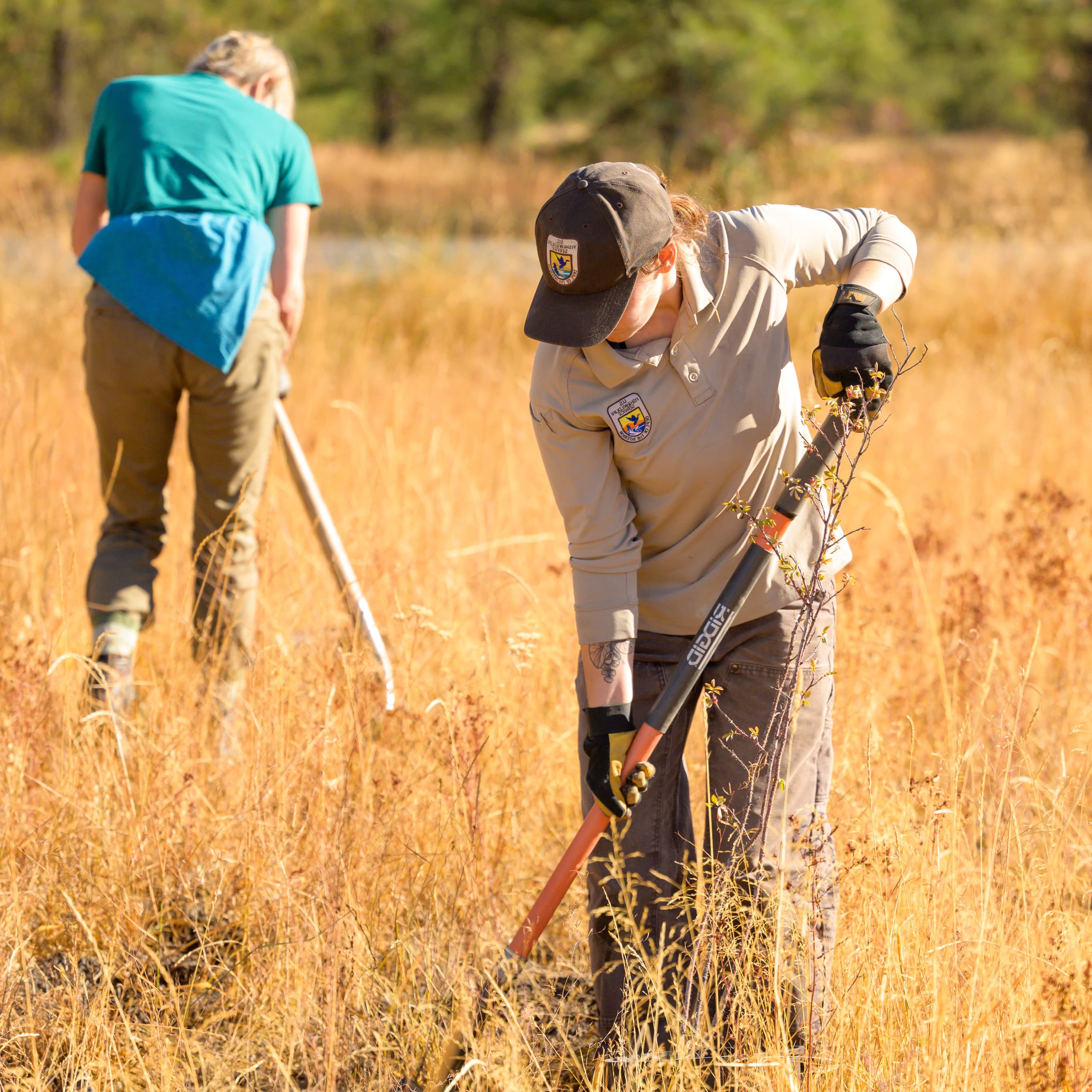
Whether you want to further conservation, learn more about nature or share your love of the outdoors, you’ve come to the right place. National wildlife refuges provide many opportunities for you to help your community and fish and wildlife by doing what you love.
Working with others to conserve, protect, and enhance fish, wildlife, plants, and their habitats for the continuing benefit of the American people.
Work with Us
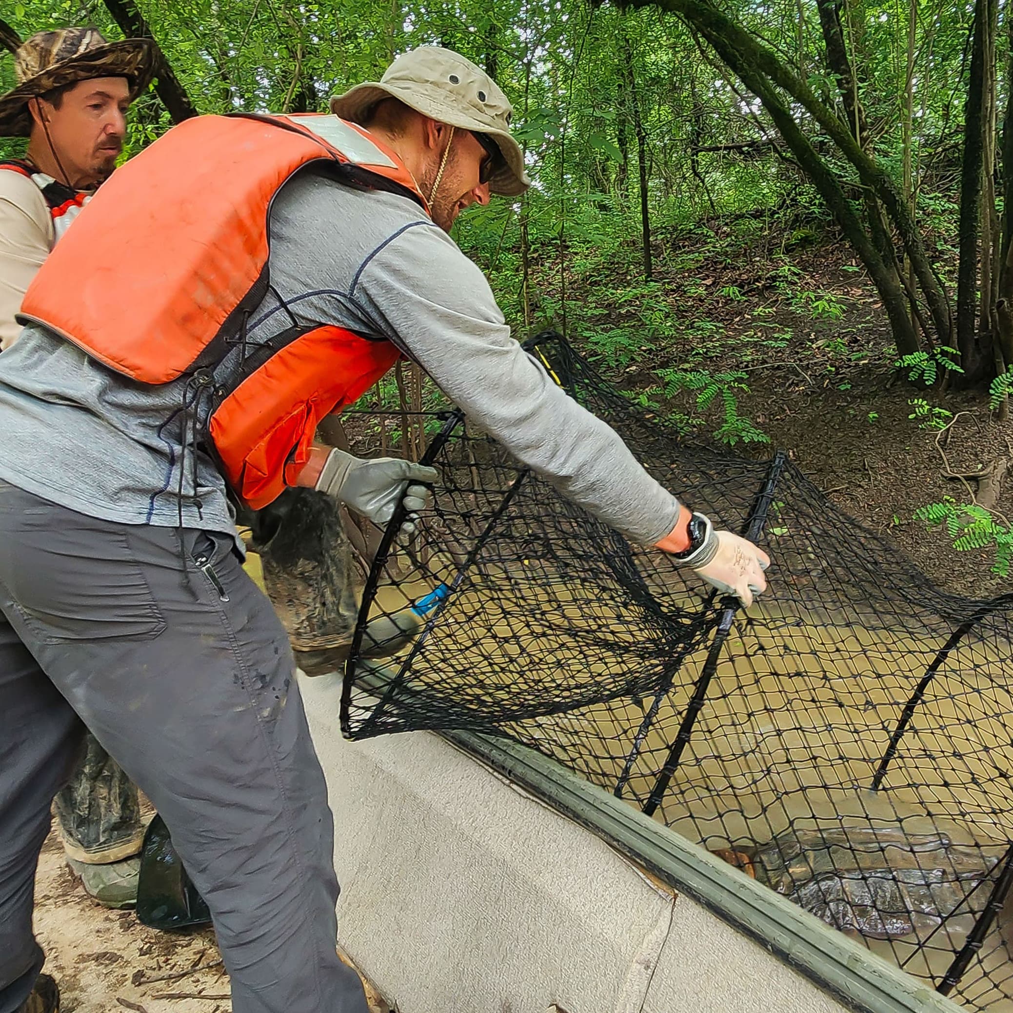
Our dedicated employees perform a wide range of jobs at national wildlife refuges and national fish hatcheries and with public, tribal and private partners.
We hope you’ll join us in advancing our mission of working with others to conserve, protect and enhance fish, wildlife, plants and their habitats for the continuing benefit of the American people.
Services
At this field station we offer special use permits for commercial, recreational and research activities. We also manage Grassland and Wetland Easements within the Prairie Pothole Region to provide habitat for globally significant waterfowl populations and other wildlife.
About
Together, Charles M. Russell National Wildlife Refuge and UL Bend National Wildlife Refuge encompass an area of 1.1 million acres along the Missouri River in Montana. Managed as a single unit, the area remains largely unchanged since the 1805 Lewis and Clark expedition and protects spectacular examples of native prairie, river bottoms and badlands. Elk, mule deer, pronghorn, bighorn sheep, sage and sharp-tailed grouse, and bald eagles make the refuge home. Over 175,00 acres of designated and proposed wilderness ensure wildlife and people have a chance to experience nature untrammeled and unconfined.
Hunting and fishing opportunities abound on Charles M. Russell Refuge. Boating is popular on the Missouri River and Fort Peck Reservoir and excellent wildlife viewing and photography opportunities are found throughout the refuge. Each fall, hundreds of elk congregate in the Slippery Ann Wildlife Viewing Area, creating a spectacle not to be missed. Camping, hiking and horseback riding are permitted.
On the east side of the Refuge, in the shadow of the Fort Peck Dam, lies the Fort Peck Interpretive Center, a cooperative effort between the U.S. Army Corps of Engineers and the U.S. Fish and Wildlife Service. Here, you can explore the wildlife of northeast Montana and the rich history of the Fort Peck area from dinosaurs to dam building.
