3909 Halls Ferry Road
Vicksburg, MS 39180
United States
About Angela Erves
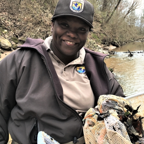
Meet Angela Erves!
Angela is a cartographer at the Lower Mississippi River Fish and Wildlife Conservation Office and has been with the Service for 12.5 years.
How would you describe your conservation work to someone you just met?
It would depend on their age. When talking to school aged kids I tell them I make really cool maps and other visual aids with computer software that assist in making major conservation decisions to determine where, when, what, how and why. When talking to adults, I tell them I work with very smart scientists to convert raw data into powerful decision making tools for conservation.
What does conservation mean to you?
To me, conservation means doing what I can to promote the wise use of natural resources in an effort to sustain them for the future.
What is the most enjoyable aspect of your work?
Being able to turn scientific data (which can be dull) into beautiful art (maps, graphs, charts, and other visual aids) for decision making. I also enjoy the fact that my job allows me the opportunity to be innovative and try new approaches to answering pertinent questions.
What led to your career choice?
I enjoy expressing myself through art (I like making pretty things) and I’ve always enjoyed technology. Cartography is the perfect blend because I’m able to combine my love for technology and art with science.
What’s your favorite aquatic species?
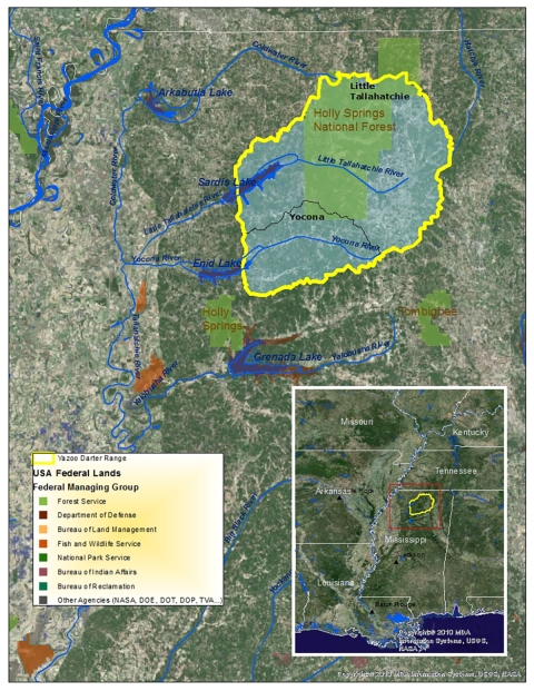
Any colorful aquatic species (Gramma or Breeding Male Yazoo Darter).
Where did you go to school?
Jefferson County Schools then Alcorn State University.
To find available cartographer positions, go to USAJobs.gov. Search “1370” Filter by “U.S. Fish and Wildlife Service” or “Department of the Interior.” Details about education and experience requirements as well as specific requirements are detailed in individual job listings.