|
|
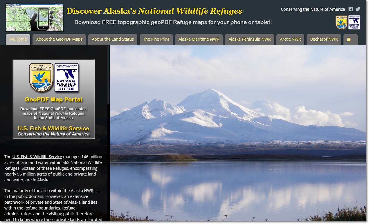
Land Status Maps |
The USFWS Region 7 GeoPDF Map Portal is the primary source for free, downloadable geoPDF land status maps for the National Wildlife Refuges* within the State of Alaska. Maps are available at two scales: 1:30,000 and 1:250,000. The 1:250,000 scale maps are updated quarterly on January 1, April 1, July 1, and October 1. The 1:30,000 scale maps are updated annually, during the first half of January.
These maps have latitude and longitude information embedded in them. You can therefore use these maps on your GPS-capable phone or tablet for field mapping and navigation. Refer to the GeoPDF Map Portal for more information about using these maps on your phone or tablet.
Click the link below to go to the USFWS Region 7 GeoPDF Map Portal.
* 1:250,000 scale land status maps for Alaska Maritime NWR are not currently available online.
FWS Region 7 GeoPDF Map Portal
Short URL: http://arcg.is/2oBSIHU
Long URL: https://fws.maps.arcgis.com/apps/MapSeries/index.html?appid=eea5634ad84c4e8ca9c40fe670bfb321
The following maps are available for download from the Map Portal:
1:30,000 scale (56" x 62")
1:250,000 scale (24" x 36" to 36" x 48")
The Region 7 Land Mapper was developed, and is maintained by, the U.S. Fish & Wildlife Service, Region 7, Division of Realty. Questions, comments,and suggestions should be directed to [email protected]
This page was last updated: Thursday, March 13, 2025