All of the pool maps for the refuge showing where you can hunt, fish, and recreate are found here: Pool Maps 4-14. These maps outline in more detail the closed areas, sanctuaries, slow no wake areas, etc.

Visit Us
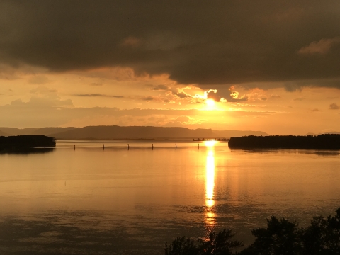
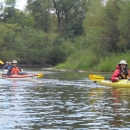
Upper Mississippi River National Wildlife and Fish Refuge has been a haven for fish, wildlife and people since 1924. The refuge stretches 261 river miles from Wabasha, Minnesota to Rock Island, Illinois, protecting more than 240,000 acres of Mississippi River floodplain. The refuge hosts more than 3.7 million annual visits for hunting, fishing, wildlife observation and other recreation. Your next adventure awaits! Check out the Pool Maps to learn where you can hunt, fish, and recreate! NOTE: The interactive map below on this page is still under construction.
Location and Contact Information

Our Species
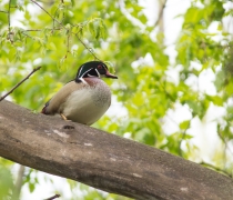
Observing wildlife can be a fun way to enjoy the refuge and it changes through the seasons. From the summer sounds of frogs, to the spectacular fall migration, you’re sure to discover wildlife when you visit Upper Mississippi River National Wildlife and Fish Refuge.